How Live Radar Gives Real‑Time Weather Updates
When a sudden storm rolls in, waiting for the next TV broadcast can feel like watching paint dry. That’s where live radar real‑time weather updates step in, turning a vague forecast into a vivid, up‑to‑the‑minute picture of what’s happening in the sky. By pulling data directly from the atmosphere and flashing it on your screen, these tools let you see rain, snow, and even hail as it forms and moves. The result? Better decisions about commuting, outdoor plans, and even safety precautions.
What Makes Live Radar Different from Traditional Forecasts
Classic weather reports rely on model predictions that update every six to twelve hours. While useful for long‑range planning, they can miss the rapid development of thunderstorms or the exact path of a squall line. Live radar, by contrast, tracks precipitation particles in real time, often refreshing every few minutes. This immediacy means you can spot a hailstorm forming just miles away before it hits your neighborhood.
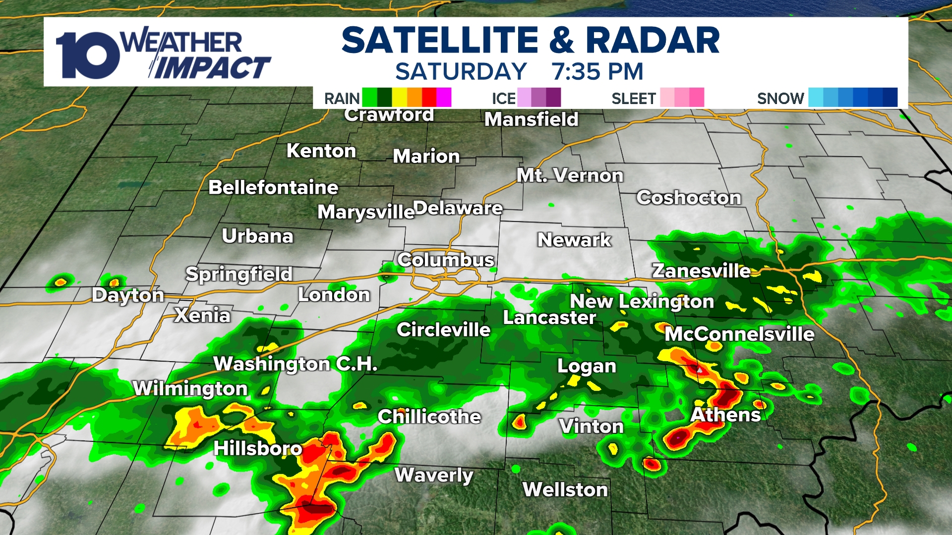
Another advantage is spatial detail. Traditional forecasts usually give a broad county‑wide outlook, but radar maps can highlight variations down to a few square miles. You might see a clear patch on one side of town while the other side is drenched. That granularity is especially valuable for pilots, farmers, and outdoor event organizers who need precise, location‑specific information.
How Real‑Time Radar Data Is Collected
Radar stations emit short bursts of radio waves that bounce off raindrops, snowflakes, and even dust particles. The returning signal, known as the "echo," tells the system how far away the precipitation is and how intense it is. Modern Doppler radar adds a twist: it measures the change in frequency of the echo, which reveals the motion of the particles. That data translates into velocity maps that show wind direction and speed within storms.
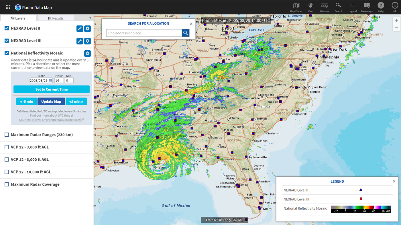
These stations are spread across the country, typically on high ground or tall towers to maximize coverage. Their feeds are transmitted to central processing centers, where algorithms clean up noise and stitch together a seamless mosaic. The finished product is then pushed to apps, websites, and even car infotainment systems, often with a latency of less than five minutes.
Practical Ways to Use Live Radar Updates
- Commuting smarter: Before you head out, glance at the radar to avoid traffic snarls caused by sudden downpours.
- Planning outdoor events: Organizers can monitor approaching fronts and relocate tents or postpone activities if needed.
- Agricultural decisions: Farmers watch for dry spells or heavy rain to time irrigation and harvesting more efficiently.
- Safety during severe weather: Real‑time velocity data can warn of tornado‑producing mesocyclones before they touch down.
Many mobile apps let you set custom alerts for specific areas, so you get a push notification the moment a radar echo enters your defined zone. Some platforms even overlay additional layers like lightning strikes or flood risk, creating a multi‑dimensional view of the storm.
Common Pitfalls and How to Avoid Them
While live radar is a powerful tool, it isn’t infallible. One frequent misunderstanding is assuming that radar can see through mountains or dense foliage; in reality, terrain can create blind spots, leading to gaps in coverage. To compensate, cross‑reference radar with satellite imagery or local observations when possible.
Another issue is overreliance on a single radar loop. A storm can intensify rapidly, and the next refresh may be several minutes away. Pair radar with official warnings from the National Weather Service, which incorporate radar data plus radar‑derived warnings like tornado watches.
Finally, remember that radar measures the intensity of precipitation, not the exact amount that will fall at ground level. A high reflectivity echo might indicate heavy rain aloft, but if the air below is dry, the actual surface rainfall could be lighter than expected. Using radar alongside humidity and temperature readings gives a fuller picture.
Frequently Asked Questions
Can I use live radar on a basic smartphone? Most major weather apps offer free radar layers that work on standard Android and iOS devices. Even older phones can load a simplified map if you have a stable data connection.
How far back does the radar archive go? Typically, providers keep a rolling archive of the past 24–48 hours, allowing you to replay a storm’s progression. Some premium services extend that window to a week.
Is radar affected by snow? Radar can detect snow, but the signal reflects differently than rain, often appearing less intense on standard reflectivity scales. Specialized “dual‑polarization” radars improve snow detection, but the display may still require interpretation.
Do radar updates work during power outages? Radar stations are usually backed by generators, and data feeds can be accessed via cellular networks, so you’ll still receive updates as long as your device can connect.